The stated source does not establish a photographer's credit. The publication date does not establish when the photograph was taken.
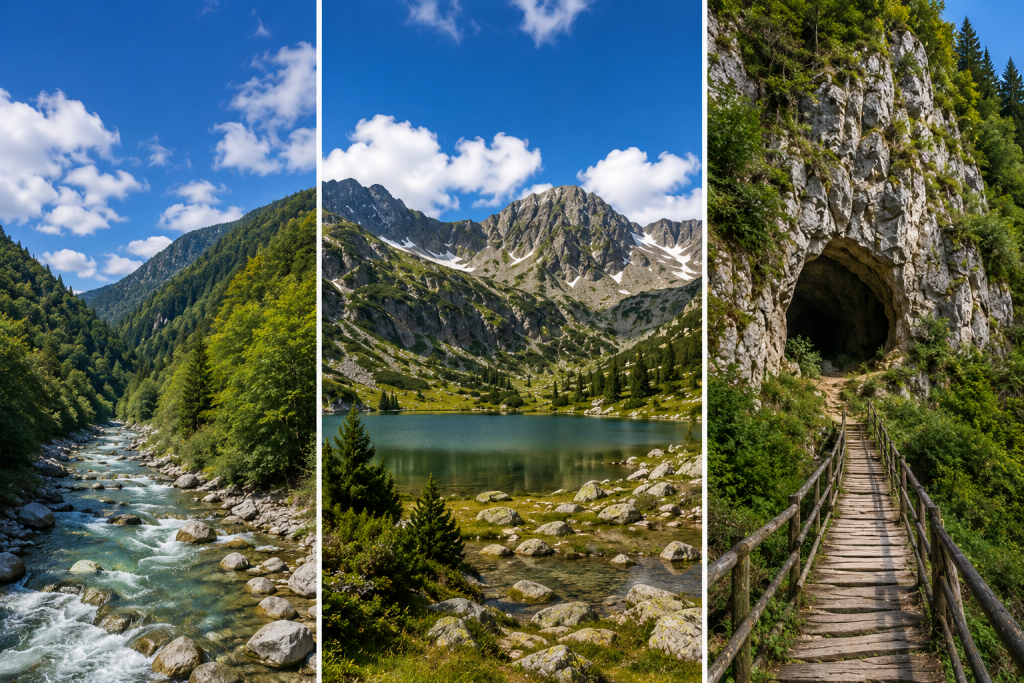
Four routes and initial areas for planning a walk in nature.
Routes in archive publication
| Route | Described division | Specificities |
|---|---|---|
| Iskar-Panega, Lukovit | Accessible start | Equal sections, bridges and platforms. |
| "Beli Iskar," Rila | About 600 meters. | Braille's information signs and bridges. |
| Alley of health, Vitosha | About 500 meters. | Arranged flooring and resting places. |
| "Kaia Bunar," "Hotnik Falls" | About 100 meters to the waterfall. | Initial approach; next parts include steep stairs. |
Before the walk
Check the time and current state of the flooring. Wooden bridges can be slippery when wet. Specify the need for an escort and the possibility of passing with the particular trolley.
Scope of information
The description is based on the publication of March 2026 and does not represent a new view of the terrain. The length of the entire route shall not be considered as the length of the accessible section.
Original publication
Edited and abridged from the original publication. The original date is preserved. Verified local copies load from the new website; the remaining files retain their original addresses. Migration of the full archive is ongoing.
View the original source on bartbg.com ↗